Into the Plain (Northside)
Map 3......Camlıköy to Şahinler with the Zodeia/Bostancı crossing point

From L to R: Camlıköy, Güzelyurt (Morphou), the Zodeia/Bostancı crossing point and Şahinler.
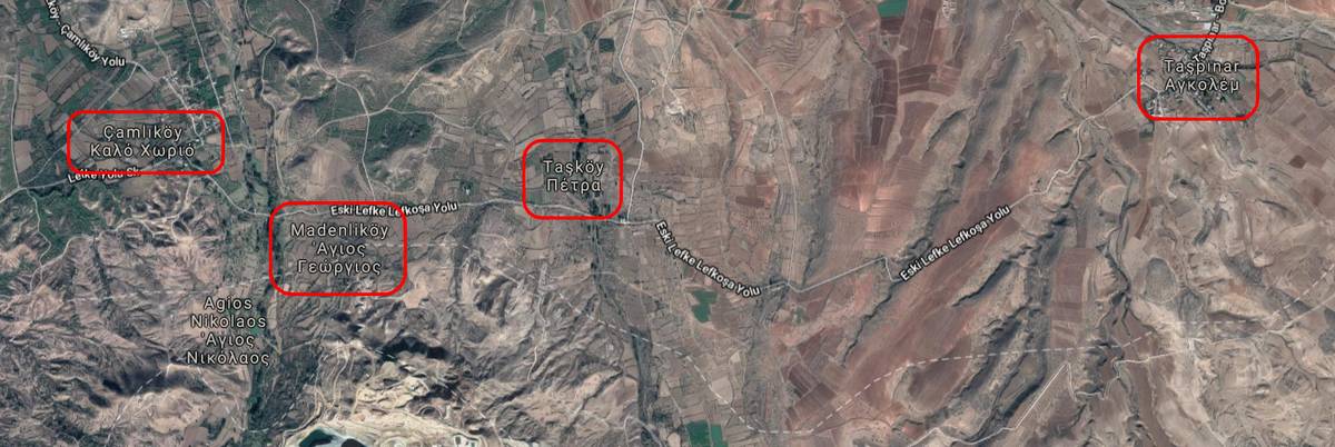
The area (Camlıköy - Madenliköy - Tasköy) behind the Skouriotissa mine is a closed area where old Greek Cypriot villages have become Turkish army camps.

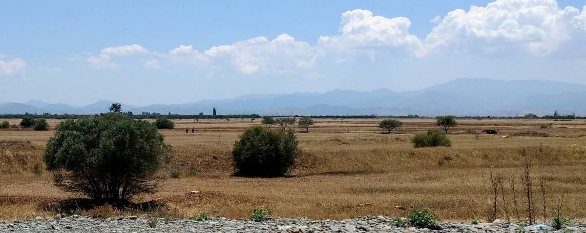
Looking over the wide Mesaoria Plain towards Peristerona, the Buffer Zone runs through the centre of the photograph.
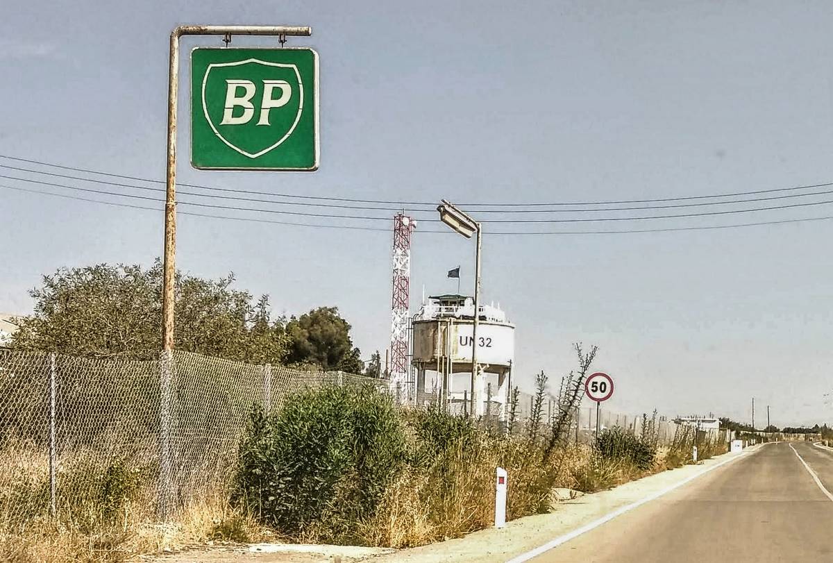
UN32, in the Buffer Zone at the Zodeia/Bostancı crossing point, is one of the few manned United Nations camps.
The Peristerona orchards can be seen as the road to Şahinler passes close to the Buffer Zone. Two soldiers are on patrol (left of centre)