The Gravenhorst Rebuild
The channel of the Mittelland Canal at Gravenhorst was totally destroyed by the bombing but such was the importance of the route for goods through to Berlin that work began almost immediately on repairing the old channel.
From 1945 to 1950 the old channel was repaired ignoring the dangers of unexploded bombs.
In 1950 canal traffic began again. However, in 1965 it was decided to build a new channel to bypass the old route.
A bypass was necessary to allow larger and faster vessels to use the canal. It would also remove the dangers presented by unexploded bombs. Between 1965 and 1985 the area to be used by the new channel was systematically cleared (see Bomb clearance).
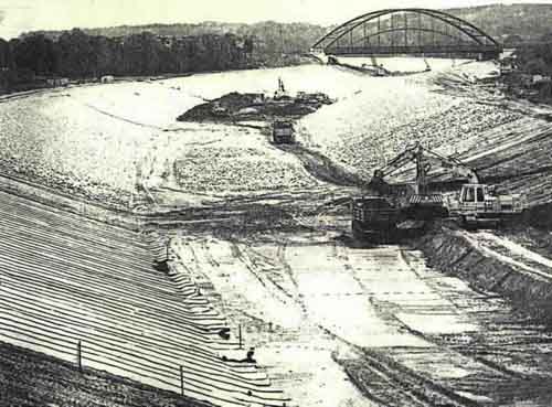
The necessity for twenty years of bomb clearance can be appreciated by the scale of the earthworks shown above.
The building of the new channel began on the 24th October 1985 and took over two years to complete.
The completed bypass is 3km long and necessitated the removal of 340,000m³ of earth.
The resulting channel was sealed with clay and a "geotextile filter".
130,000 tons of stone was then used to protect the bed and banks of the canal.
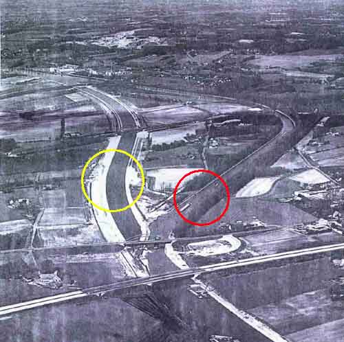
The new route is circled in yellow and the old route, in red.
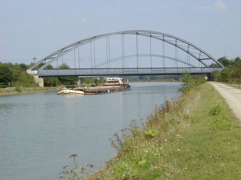
In the photograph above you can see the northern junction of the old and new canal. The earth embankment just below the bridge is about to be removed to allow barges to use the new route. Recreational vessels would soon use the old channel (on the right) for berthing.
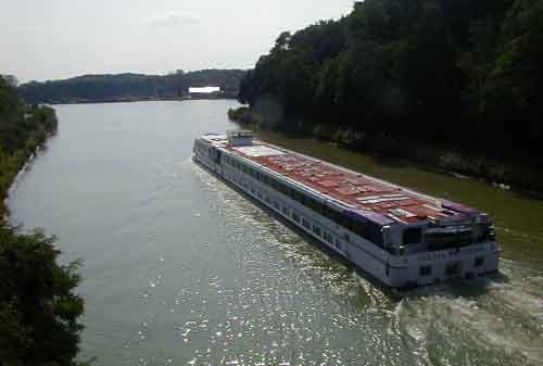
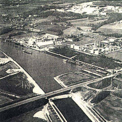
A large pleasure cruiser is heading north on the new canal and is about to pass the junction (on the right) of the original Mittelland canal. The picture is taken from the bridge seen in the earlier picture.
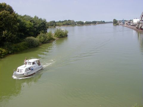
The northerly part of the old canal is now used as berthing for pleasure boats. After approximately 1km a main railway line embankment cuts across the course of the old canal.
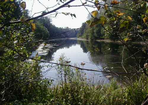
The remaining 600m south of the division created by the railway line is used as a "biotop".
Here nature is allowed to determine what happens to the water.
From this point on (towards the aiming point) the canal was filled in.
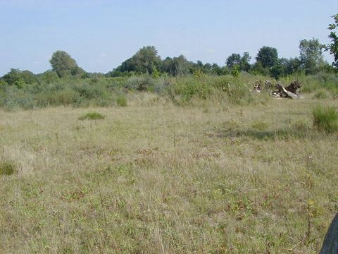
This peaceful featureless plain was once the aiming point and was left a shattered landscape. Not one square metre of land was undisturbed by explosions. Today, after four years of additional bomb clearance, the land is manicured and nature is eradicating all evidence of the violent events of 1944/45.

The new Düker or underpass viewed from the eastern side of the canal. This is very close to the location of the original underpass which was the aiming point of the attacks.
The new Mittelland canal viewed from the top of the Düker. The railway bridge which cuts the old canal can be seen with a road bridge just visible in the background.
The northerly junction of the old and new canal can be viewed from the road bridge (out of sight) a little further to the north.
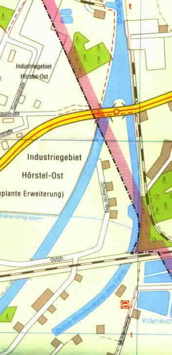
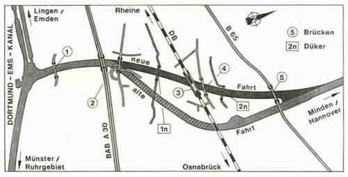
The map below shows the area of the rebuild.