Fraisthorpe Beach

During World War Two, the shoreline from Bridlington to Barmston (Fraisthorpe Beach) was defended against a possible German invasion.
Anti-tank blocks (many best visible at low tide) were placed at the foot of dunes or the cliff to form a continuous line, with pillboxes and command bunkers positioned behind.
Today, the remaining military structures mark the course of the upper beach as it was in 1941.
As the cliff loss increased, bunkers and anti-tank blocks are now positioned far from the current shoreline.
With a little imagination, one can visualise an invasion fleet landing here.
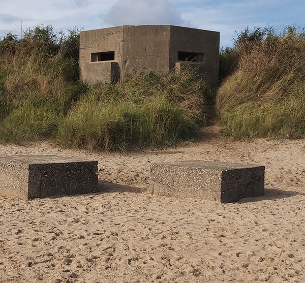
A bunker remains on the dunes above one of the many anti-tank blocks.
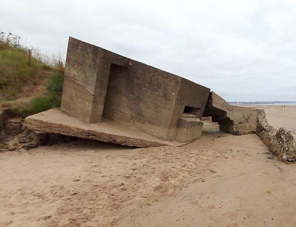
Others have sucumbed to the results of erosion and are now embedded in the beach.
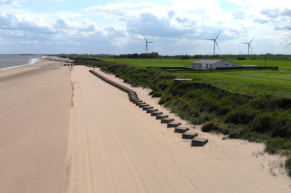
A drone image courtesy of Nick Moore........the anti-tank blocks stretch into the distance.
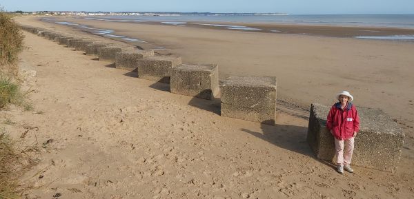
From ground level, the figure gives scale to the near pristine blocks.

Additional (now heavily eroded) anti-tank blocks were constructed at right angles to the beach.
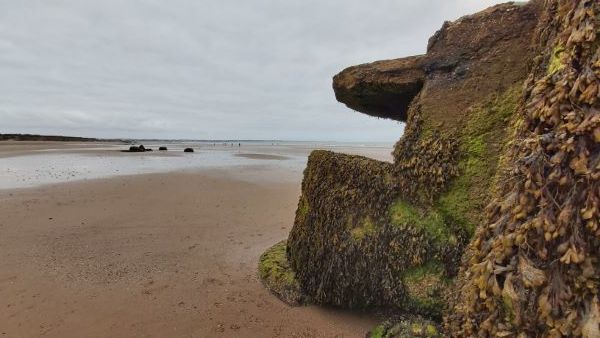
Seaweed and barnacles clearly show the tide level on this bunker.......now a significant distance from the current shoreline.
I made the mistake of thinking it would be a short visit and had to repay the parking fee......my first hour wasn't credited.
You need several hours to fully explore the beach from Wilsthorpe, just south of Bridlington towards Barmston.
From the Fraisthorpe Beach carpark, significant locations stretch 1km towards Bridlington and 2km towards Barmston.
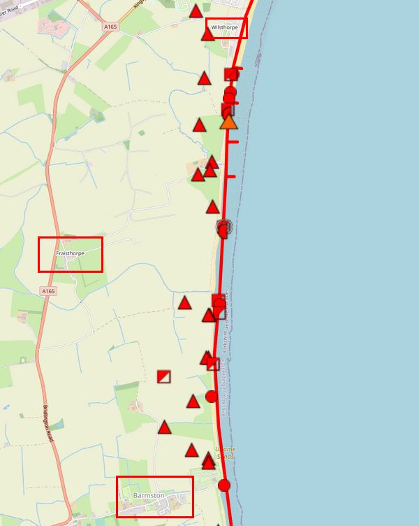
A map showing the number of defensive positions around Fraisthorpe Beach (eDoB website.....opens in a new window)