Barmston

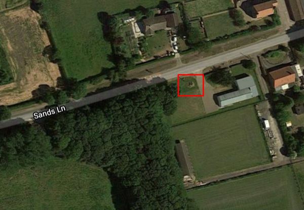
The map location shows the position of the Barmston Drain 'Sea-End'. To reach this location you need to park near the end of Sands Lane and then walk south along a pleasant path. The indicated road to the Drain Outlet is gated and locked.
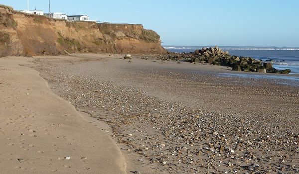
As you head for the Drain, look back and you can see the protection placed to defend the campsite.
In 1978, concrete from old WW2 defences was placed around the headland.
The effect of this protection was the necessity to reinforce the area around the drain outlet.
Barmston Drain was constructed around 1800 and drains a large area of former marshes to the north of Beverley into the sea.
Water from the north east of the region was diverted to a sea outfall at Barmston and 37 km of drainage cuts were constructed.
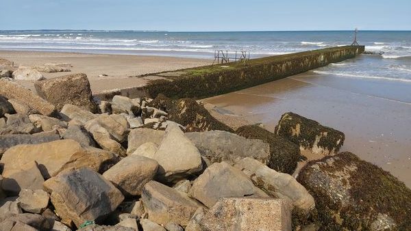
This above photo shows the rectangular concrete outlet tunnel built in 1970.

In the early 2000s, to protect this important "sea-end" of the drain, rock armour was placed around the outlet tunnel.

To protect against 'outflanking' the rock armour was extended further inland.
The two shades of rock can be seen in the above image.

This reinforced section of coastline is now causing erosion issues further down the coastline.

Barmston & Fraisthorpe Village Hall and the Millenium Stone are on your RHS immediately you enter the village area.
The Millenium stone is marked.
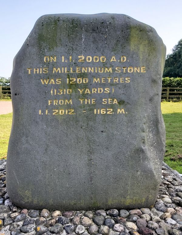
One can only speculate what further engravings will record.