Through the Mountains to the Mine
Map 2.......Yeşilırmak to Çamlıköy (from the north side)
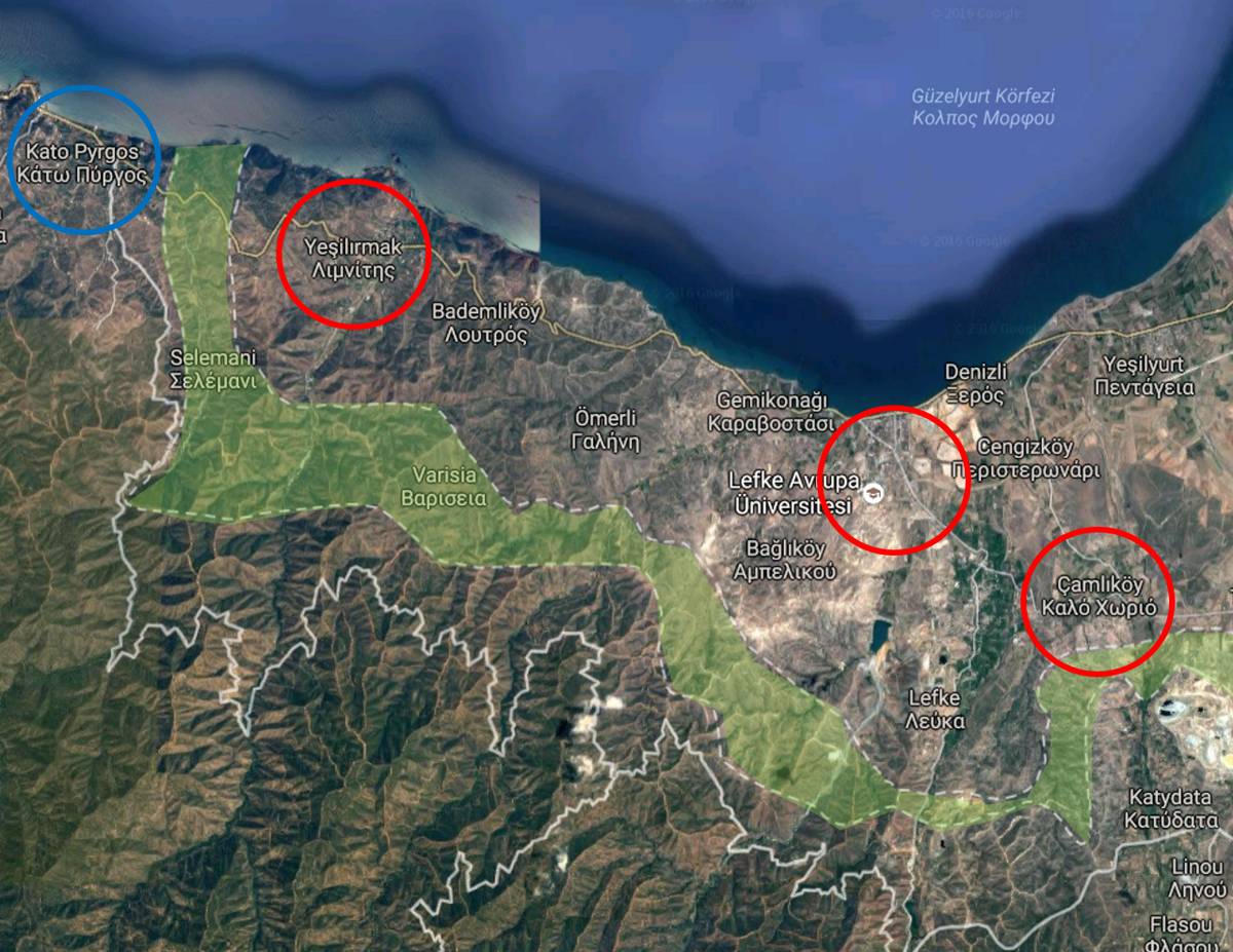
From L to R........Kato Pyrgos, Yeşilırmak, Lefke and Camliköy
We crosed into Northern Cyprus via the Kato Pyrgos/Limnitis crossing point (LHS of the map).
Once clear of the border control area we pulled off the road and walked a few yards to look over the area of the Buffer Zone.
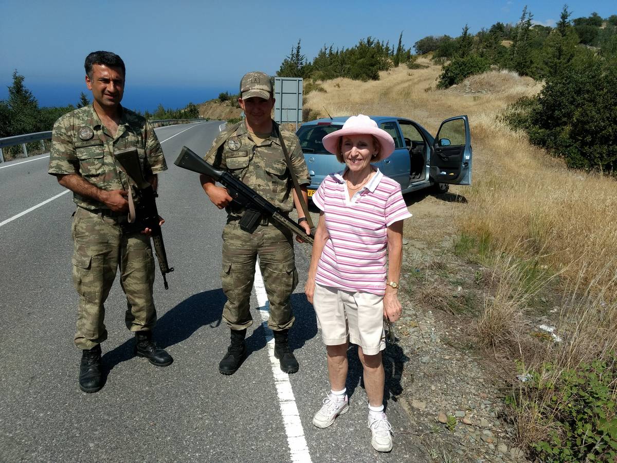
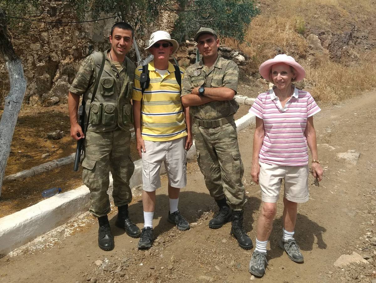
On my way back I was met by the soldier on the LHS who escorted me back to the car. Following their message of, "No stopping, No photographs," they agreed to pose for a picture.
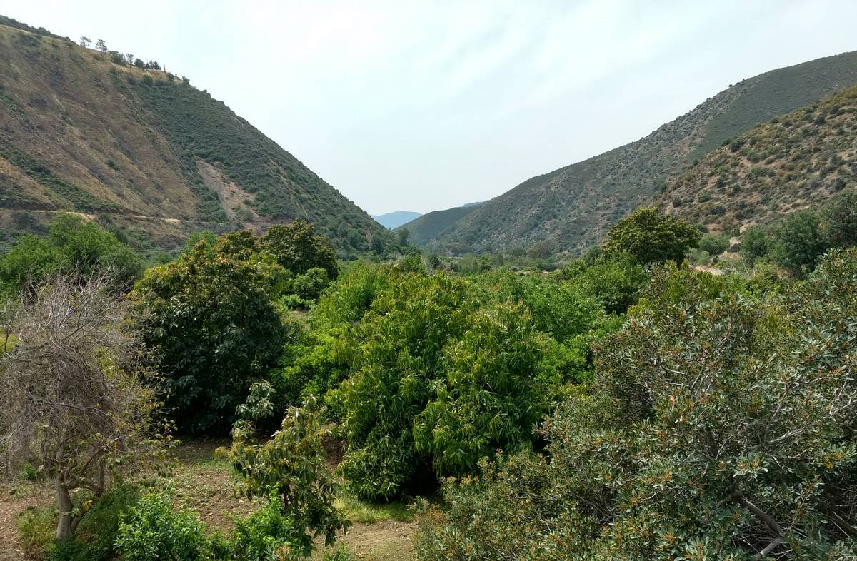
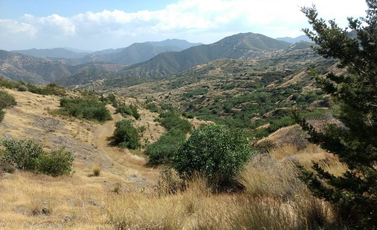
The next day we drove down the Yeşilırmak River valley.

Some distance from the Buffer Zone there were "Prohibited Area" signs all across the width of the valley (not just the track).
At this point, we decided to go no further.
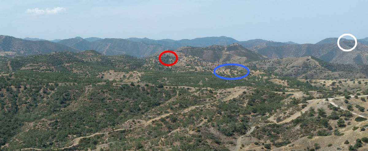
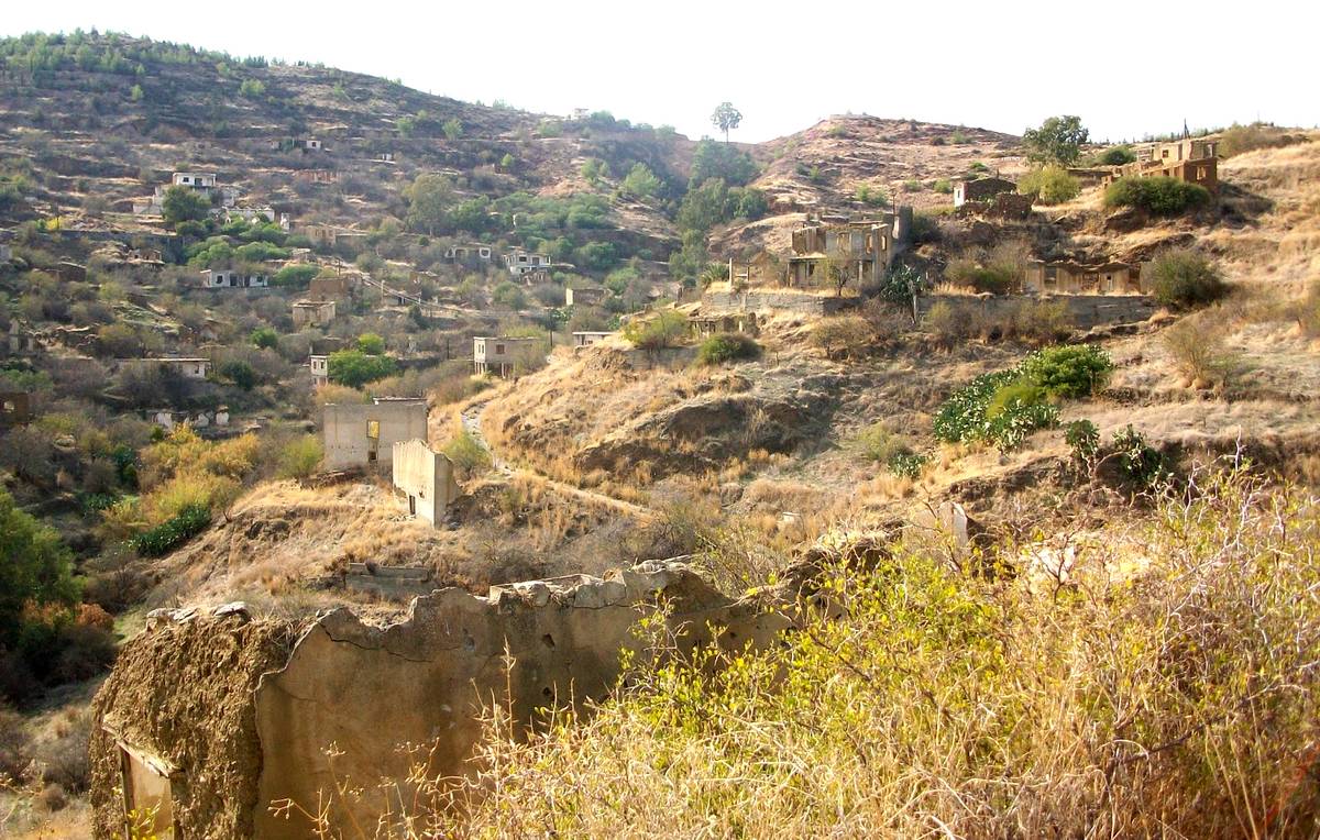
Later that day, further along the coast, we parked the car and walked up into the mountains through the abandoned Greek Cypriot village of Loutros (circled in blue) towards the ridge line. Before going very far a Turkish Army patrol told us the track was closed. I explained my intentions (with the help of some prepared translations) and we were allowed to go further. At the red circle we came to a camp. The white circle is the famous UN positions (Op Selemani).

Part of the abandoned village of Loutros and the track behind leading up towards the Buffer Zone.
The guards at the camp were slightly shocked to see two elderly British tourists but we were greeted in a very friendly manner but not allowed to go any further without a permit.
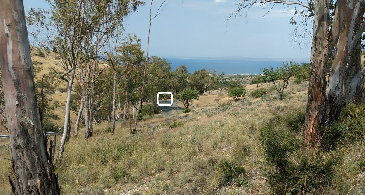
The following day we drove up the Lefke to Bağlıköy (Ampelikou) road to visit the memorial of two Danish UN soldiers who were killed by a landmine in August 1974. The white square marks the location.

The memorial stone............16th August 1974.
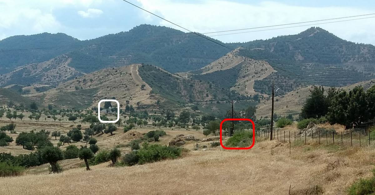
The Buffer Zone is just to the north of Bağlıköy. The timely arrival of a farmer (who was a London Cypriot) allowed us to negotiate where taking pictures was allowed. This is the closest to the Buffer Zone that we managed to get. The red square is the Turkish guard post and the white square is the, now unoccupied, UN OP in the middle of the Buffer Zone.
Further into the hills close to Bağlıköy is the abandoned Greek Cypriot village of Galini (Ömerli). The village is in a restricted military area and this image comes courtesy of a Turkish trekking website.
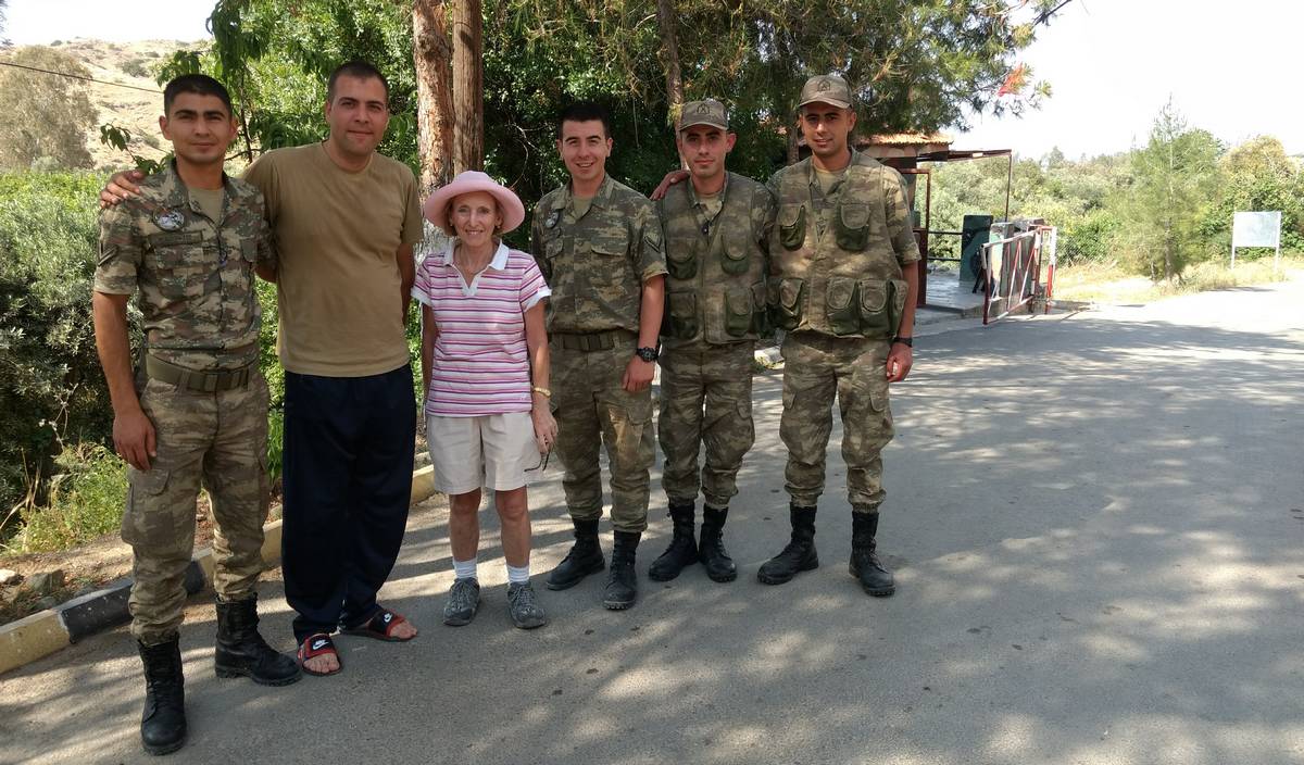
Our next attempt to approach the Buffer Zone was, as always, blocked by a Turkish Army camp that straddled the road. We were allowed in but no further. However, they were exceedingly friendly and agreed to pose for photographs.
South of the bustling university town of Lefke the road travels through Aplıç towards the Buffer Zone.
In 2015 in was agreed to open a further crossing point at this location.

Funds were made available in July 2016 and it appears that the work was completed on both sides but only as far as the Buffer Zone limits.
Our student friend spoke excellent English but couldn't persuade the soldiers to let us pass further than their checkpoint.

The road through the Buffer Zone is still only wide enough for traffic to travel in one direction.
This photograph is courtesy of the UNDP.