Around the Capital
Map 5......From west to east Nicosia and the turn south
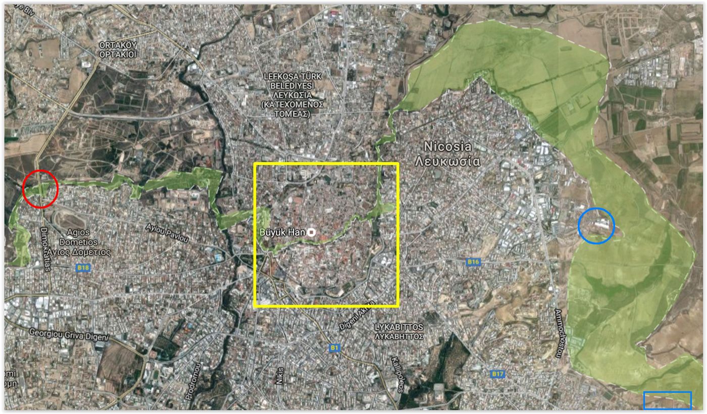
From L to R......The Agios Dometios crosing point, the old Venetian walled city (marked in yellow), the Aglantzia Industrial Area and (at the bottom right corner) the University Campus
For details of the Buffer Zone in central Nicosia, follow the Through Nicosia tab which begins with the briefing.
This section shows the Buffer Zone widening as it leaves the confines of Nicosia behind. There is a significant change of direction as the zone makes a sharp right turn and heads south skirting the eastern boundary of the capital and its suburbs.
At the northern edge of the suburb of Omorfita, the Buffer Zone is still very narrow
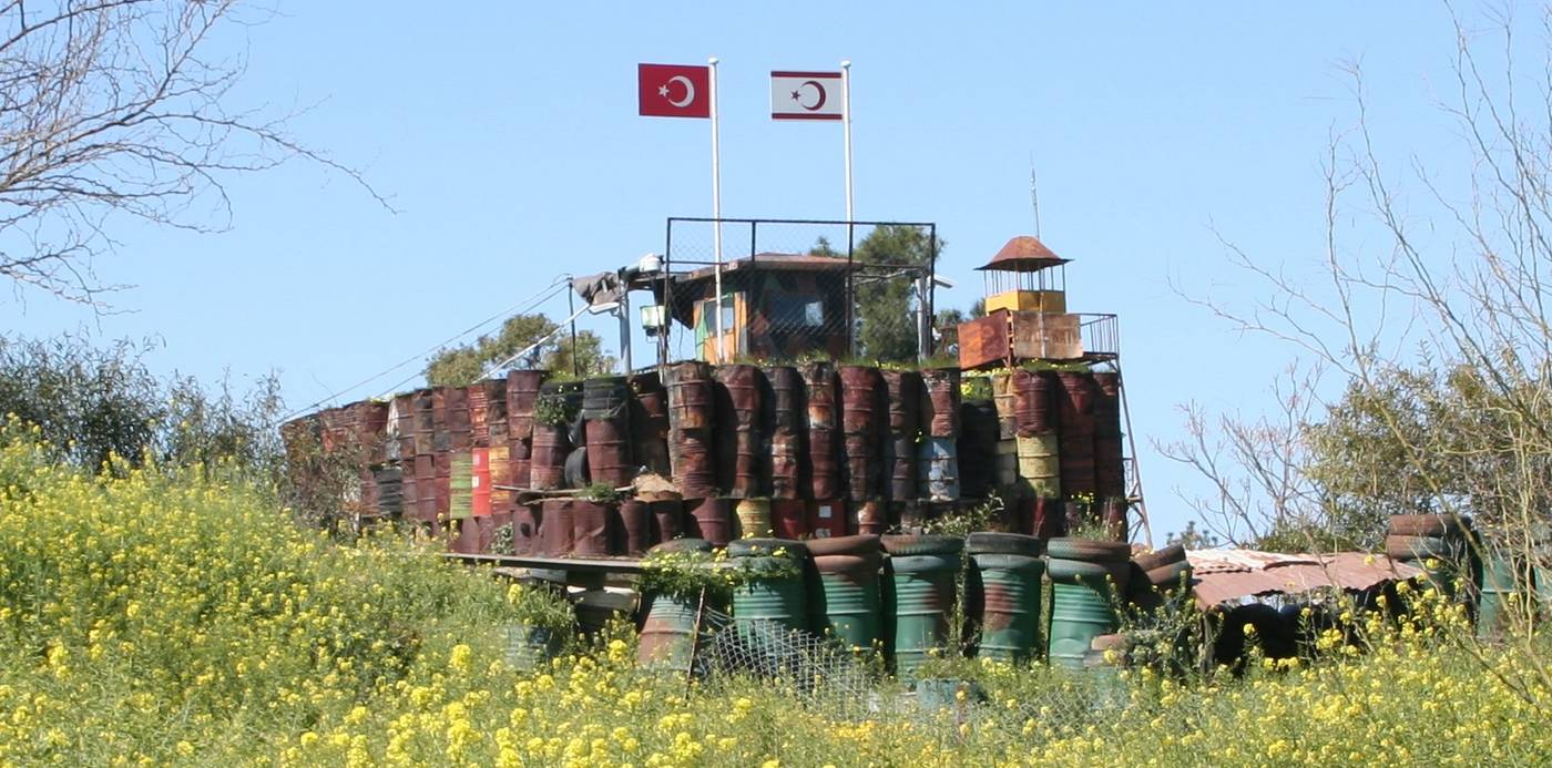
An almost medieval Turkish bunker faces green camouflaged Greek bunkers
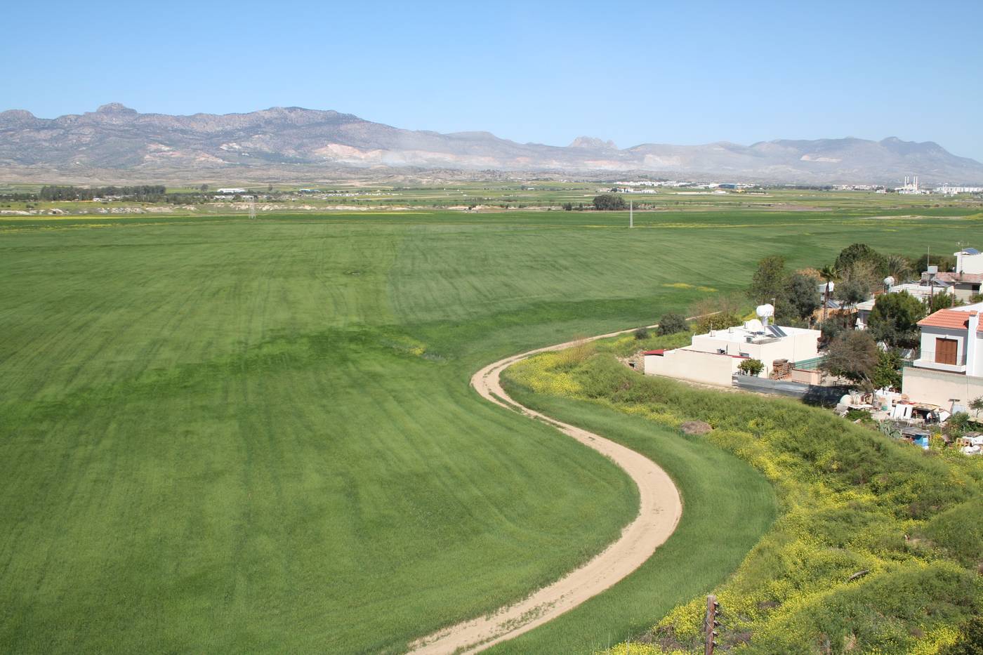
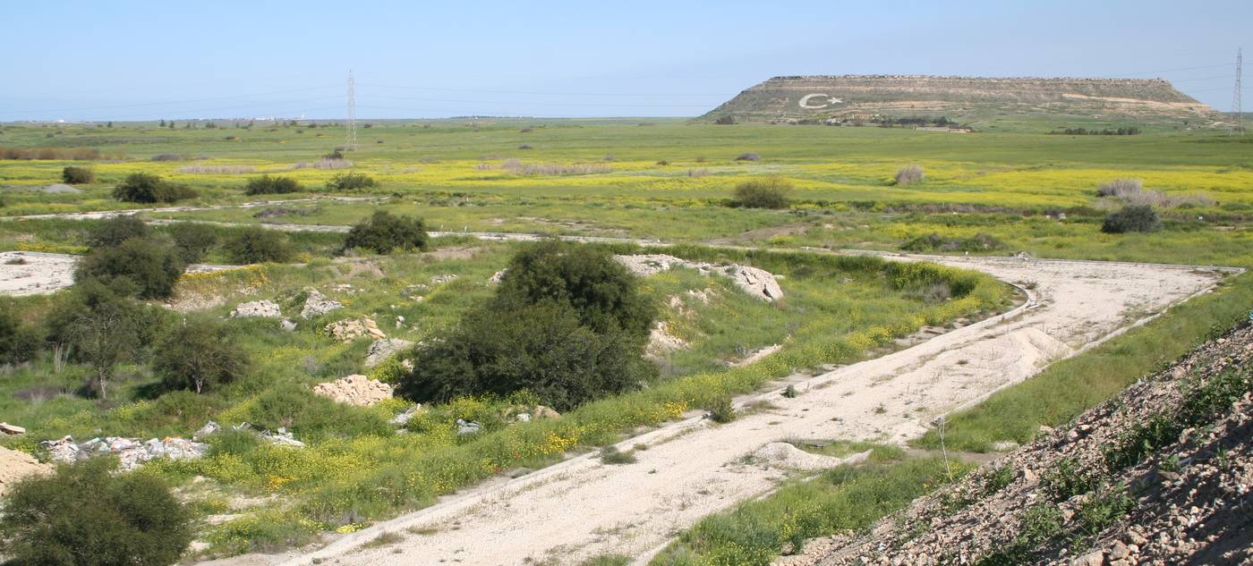
Suddenly, the Buffer Zone widens into open agricultural land with housing (on the Greek side) built right up to the trench lines
The UN patrol road can be clearly seen in the foreground
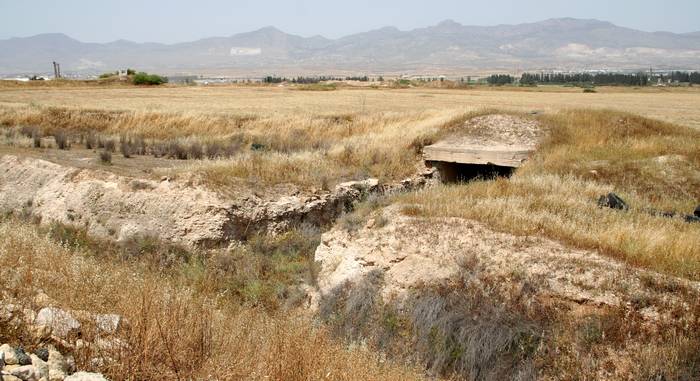
Down the eastern edge of Nicosia (this is at Sopaz) there is a deep anti-tank trench with many OPs and large bunkers
The Buffer Zone is approximately 500m wide at this point (the industrial area of Sopaz)
Close to the University Campus there are signs of development areas that now lie abandoned within the Buffer Zone