Military Histories
The Green Line in Cyprus
The story
Introduction
Early Cyprus History
British Rule Onwards
The History of Nicosia
Two Communities
The First Demarcation Line
Difficult Years
Dec 63-Mar 64
The Background
Bloody Christmas
Britain Responds
A Green Line is Drawn
The Truce Force
The Enclaves
The Tripartite Patrols
UN Takeover
Formation & Deployment
Early Challenges
Restrictions
Nicosia-Kyrenia Road
Later Years
Calm Before the Storm
Images: The UN
1964-65
1966-67
1968-69
1970-71
1972-mid 74
Helicopters pre-1974
The Events of 1974
The Prelude
The Coup
The Invasion
The Second Operation
The Implications
Population Movement
Partition
The Buffer Zone
Buffer Zone Maps
Across the Island
The Enclave
Mountains to Mine (Southside)
Mountains to Mine (Northside)
Into the Plain (Southside)
Into the Plain (Northside)
Villages and an Airport
Around the Capital
The Louroujina Pocket
Inside the Pocket
Buffer Zone Villages
The Mixed Village
Around the ESBA
To the Sea Again
Varosha Today
Through Nicosia
Tour briefing
Jeep Gate to Ledra Street
Ledra Street to Footballer's Gate
Additional Videos & Images
Buffer Zone Incidents
Images: The UN
Mid 1974-75
1976-77
1978-79
1980-84
1985-89
1990-94
1995-99
2000-04
2005-09
2010-14
2015-Present
Forty Nine Years On
Then & Now
Links
Update Log
Additional Information
A walk down Hemes Street towards the start of the '4 minute walk'
Video length......41 seconds
Crossing Ledra Street from the Buffer Zone
Video length......1min 56 secs
New cars in the basement
Video length......32 secs
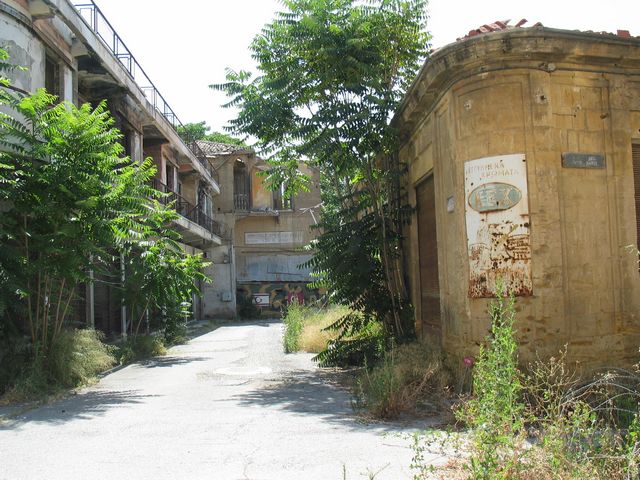
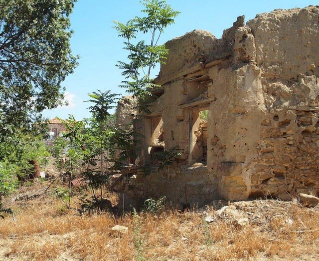
A set of photographs showing that it is indeed a Green Line with nature and decay changing the appearance of the Buffer Zone